Cluster Subdivision Planned Off Sam Allen Rd.
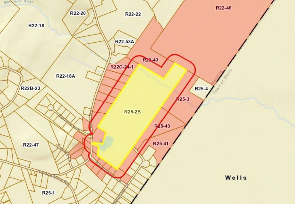
At their first in-person meetings in more than two years, the Site Plan Review Committee and Planning Board this week heard plans for a new cluster subdivision off Sam Allen Rd. in South Sanford, on the site of a long-abandoned sand and gravel pit, very close to the Wells line.
A cluster subdivision is one in which the houses are clustered together rather than scattered throughout the property. In the Rural Residential Zone, where this property is located, each single-family home requires a two-acre parcel of land. In a cluster subdivision, the houses can be on smaller lots, as long as the overall density of the subdivision is not more than one house per two acres. There are benefits to clustering homes together, not only for the developer, who can reduce the length of roads and other infrastructure needed, but also for wildlife, by leaving larger areas of land undisturbed, and for recreation, by having areas of open space immediately adjacent to residential neighborhoods.
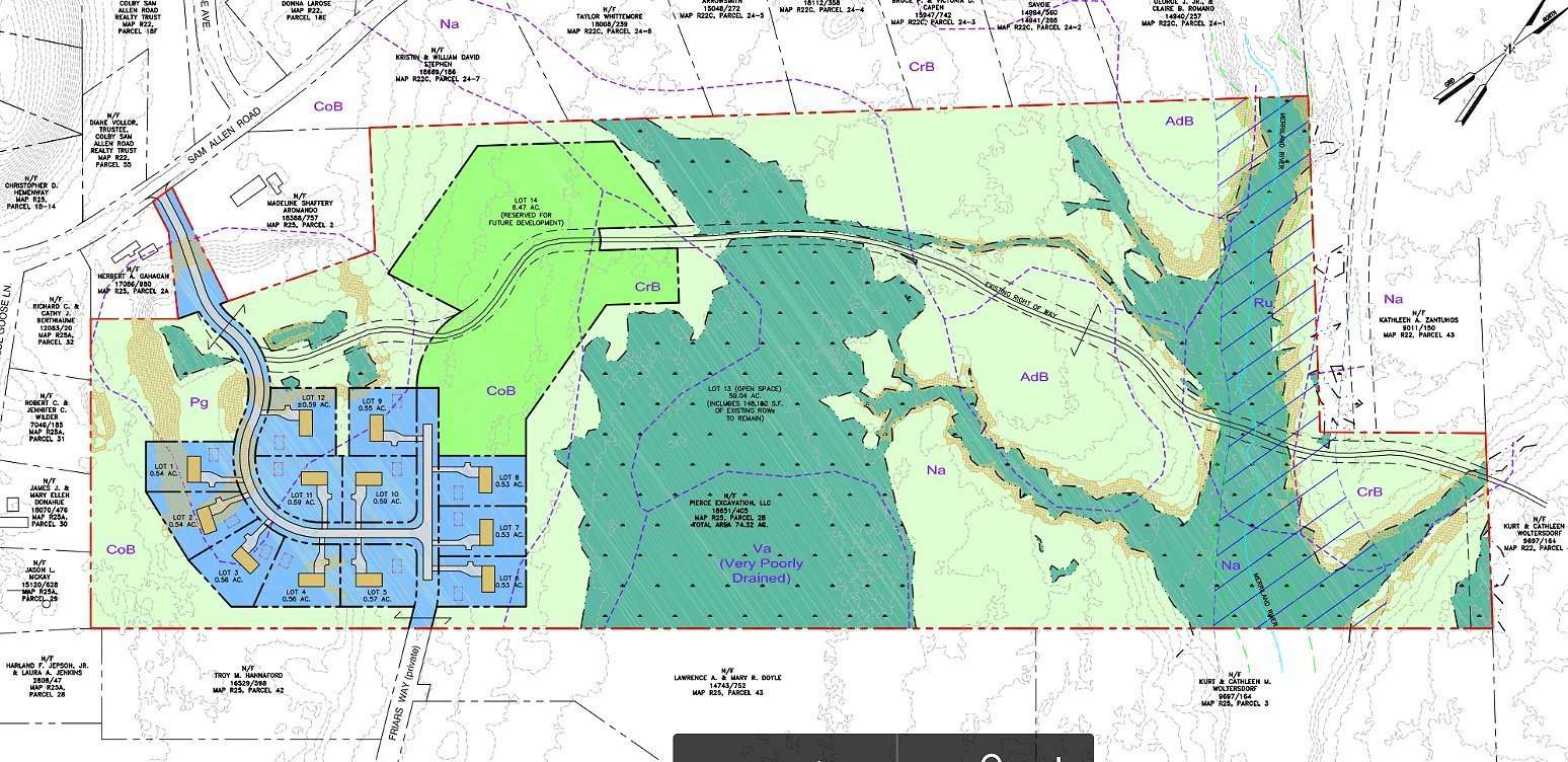
The 74+ acre parcel of land is owned by Pierce Excavation, LLC of York, which purchased it last year. The company plans to build 12 homes initially, on lots just over a half-acre each, shown in blue on the plan above. A 6.47 acre lot (in lime green on the plan) will be reserved for future development, and the remaining 59 acres, much of which is wetland, will stay as open space. The Merriland River, which empties into Branch Brook, runs across the northeastern end of the property.
Access to the new neighborhood will be off Sam Allen Rd., by extending and improving the existing gravel pit road. This road will intersect with a second new road which will eventually be extended into the future development area, and will connect with Friar’s Way on the other end to provide a second means of access.
The new homes will have private wells and septic systems. Initially the roadways in the development will be private roads, but the plan is to construct them to City standards with the goal of eventually becoming public roads maintained by the City.
These initial meetings, for the purposes of inventory and analysis, give City officials a first look at a major project so they can have input on what a developer should address in the full site plan application. No decisions are made to approve or reject the plans at this stage.
At the Site Plan Review Committee meeting, Fire Marshal Patrick Cotter indicated that, as there are no hydrants in the area, the homes will need to have sprinkler systems. Deputy Police Chief Eric Small said he would like to see some street lighting in the neighborhood to discourage illegal activity. Planning Director Beth Della Valle cautioned that, as the soils are very sandy and well-drained, a hydrogeologic survey may be necessary to ensure ground water supplies won’t be impacted by the septic systems and roadway pollution. Pesticide and fertilizer use may need to be restricted in homeowner’s association documents. She said due to the extremely well-drained nature of the soil, a landscape plan for the property will be challenging.
Based on the discussions at the Site Plan Review Committee and Planning Board meetings, Ms. Della Valle made a list of 19 items for the applicant to address in the site plan application. The application is expected to be submitted in August. Erik Saari, the engineer on the project, said the owner of the property will not be building the homes, but will sell the lots to builders.